Today's Canals : Wendover Arm, Grand Union

We promised some pictures of the Little Tring end of the Arm, where we moored overnight.


Just before the end is a large winding hole and mooring area.

Mike and Andrew set out early (ish) to walk part of the next section of the Wendover Arm that is still under restoration. Wendover Arm Trust (WAT) have made considerable progress and had been expecting to complete the next phase and open to navigation in 2025. They have been working back to the base in Little Tring from the place where the existing in-water section from the centre of Wendover comes to an end. Almost all of the route has been excavated - the far part of the above photo is where eventually they will break through to join the currently navigable part.

All of thee principal structures work is now complete although one will need a little remedial work to make it fully watertight. The majority of the work now is laying the lining to the canal which is done in 40m sections.

At intervals layby moorings have been constructed as the canal will remain quite narrow and there were no provisions for mooring originally.

Whitehouses Pumping Station - or at least the remains of it - have been restored. Work was still underway when we came here two years ago.

This is now the point, under one of the two new timber footbridges, where the already re-watered section currently ends. The dry section between the two bridges was unintentionally filled earlier this but it did give WAT the chance to check out how watertight their work is. Andrew returned to the boat from here so that he could have his sausage wrap breakfast!)

This is what the laybys look like once re-watered.

Mike continued on the Drayton Beauchamp Bridge . . .

. . . with a longer view of the in-water canal (but still only at a minimal depth to protect the work).

On the way back Mike passed a small working party and chatted to the team leader. This brough out unwelcome news. The central section of this Arm had a severe leakage problem right from the outset. various attempts were made to seal the canal bed. In the Victorian period, the last real attempt used a substance made with coal tar. The aim was to lay what might have looked like a tarmac road surface but alas they put n right onto the chalk base. Chalk ground is always on the move as rain and sun change the water table and so this new surface quickly cracked and failed to do any good, leading to the closure.
WAT agreed a working method with CaRT some time ago to prevent the coal tar from contaminating local water supplies. However, recent attention to environmental standards has led CaRT to demand a review and WAT had had to stop work since May this year until they are given the all clear after further testing of the ground.

A little later than intended Mike made it back to the boat but the other two were still just finishing breakfast! We then set off to return - slowly - back to Bulbourne Junction, passing alongside the Heygates flour mill. (See a previous blog for some details)

At the junction we turned left and immediately into the Marsworth flight. A single hander was already waiting and we shared locks down most of the flight.

Two volunteers were on hand today to help us - they were especially useful as one stayed behind at each lock to close up whilst the other went ahead to set the next lock. As a result we progressed very smoothly.
At Marsworth Wharf we pulled in to use the services. After a batch of laundry our tank was quite depleted by we found that the flow from the tap was very feeble (Not sure why as the pressure inside the block was pretty good) After half an hour we were still only half full so we gave up but in so doing really set our target for today as Slapton where the next water point is located.
We had by now lost our locking partner who opted to moor in the 'long pound' above the last lock. After two more locks we found a place to moor for lunch - the first time on this trip that we have used Armco and chains.

After setting off after our lunch break we soon reached the only swing bridge for a long time. A single hander was now just ahead of us and passed though, leaving the bridge open (not sure whether he had actually spotted us and we did not see how he opened it - not easy for single handers). Signs make it clear that the bridge must be closed again after a boat has passed through as this is a popular footpath used by local residents to avoid a long detour. There is no other way to cross the canal and no lock landing on the side where the bridge is operated. Andrew brought the boat carefully to the bank just before the bridge and Mike managed to make a (giant?) leap ashore! It was fortunate we made the effort because as we were doing so a local walker arrived and did say that they are regularly put out by boaters failing to close up after themselves.

Locks come quite frequently but mostly spaced out such that there little more than a breathing space between them, no enough time to doing anything else! By the time we reached the two Ivinghoe locks the sun was quite low and the sun lit the landscape with an autumnal feel that belied the very hot sunshine we had for all afternoon.

Several large fields below the locks had been given over for almost a year to a large film set. We think that this is a two-part film of Wicked, described as a musical spin-off from Wizard of Oz, complete with a yellow brock road, s1tarring Ariadne Grande. It seems that the film is now complete and that the re-creation of Munchkin Land is already being demolished but we could still see large sets - even if they look very uninteresting as the parts that the camera saw faced the other way! We understand that the first film is due for release in November 2024. We have seen a report that Ivinghoe has hosted sets for Star Wars and Killing Eve.
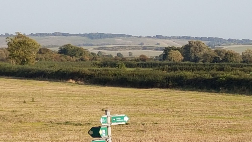
We were looking out for the Dunstable Lion - it is even more shabby and indistinct than last time. (It is above and slightly to the right of the footpath sign, just below the skyline)

The locks this side of the summit were bult with side pond and although they are all now out of action, they can still be seen alongside. However, at Horton Lock it has been filled in and, apart from these remnants of the paddle gear, now invisible. A casual viewer might wonder what on earth these two pieces of cast iron are/were for!

The awaited water point is just beyond the bridge at Slapton. We had to manouevre around a very large wide beam that was about to reverse under the bridge to turn around in the winding hole. This tap was quite the opposite of the one at Marsworth. We hardly had time to take breath before our gauge was showing the tank about to overflow!
There is no space to moor between the water point and Slapton Lock so we had to work down to moor just below.
7.3 Miles - 16 Locks
No comments:
Post a Comment